Maps and Property Information
Use GIS maps to check property zoning, overlays, and constraints like flood or hazard zones. These maps can also help assess whether your land is affected by natural hazards like liquefaction or coastal erosion.
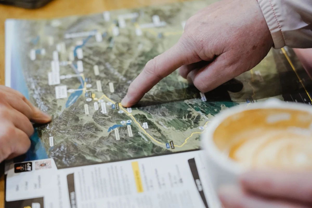
Use GIS maps to check property zoning, overlays, and constraints like flood or hazard zones. These maps can also help assess whether your land is affected by natural hazards like liquefaction or coastal erosion.